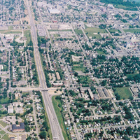
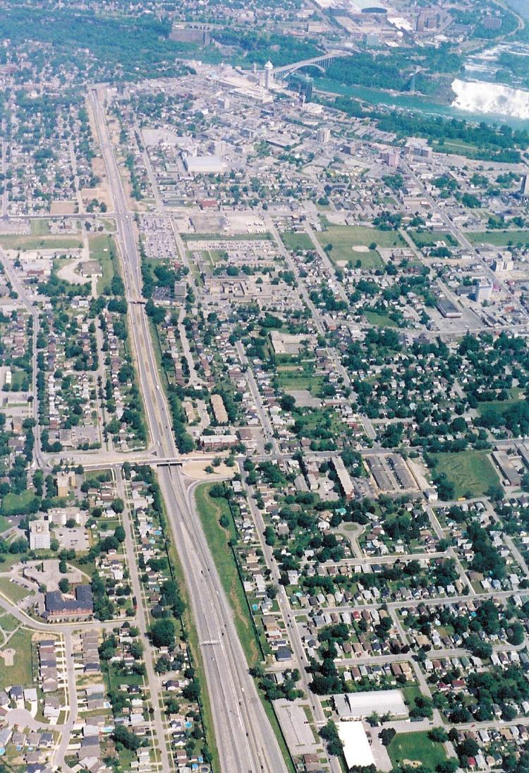
Aerial View of Niagara Falls, Ontario, and Highway 420 leading to the Rainbow Bridge
item
- Title
- Aerial View of Niagara Falls, Ontario, and Highway 420 leading to the Rainbow Bridge
- Description
- Snapshots of Niagara Falls 2004, Stanley Avenue, Drummond Road, Portage Road
- en-CA Part of the 2004 Snapshot of Niagara Falls project. 1st bridge see at the bottom of the photo is Drummond Road, the 2nd if Portage Road and the next intesection is Stanley Avenue
- en-CA Negative available
- Identifier
- http://www.nflibrary.ca/nfplindex/show.asp?b=1&ref=oo&id=99831
- Creator
- Porteus, Andrew C.
- Medium
- Photograph
- Extent
- 4" x 6" Colour photograph
- Provenance
- Courtesy of Andrew Porteus
- Date
- 20040615
- Is Part Of
- Snapshot of Niagara Falls 2004
- locator
- 419490
- Rights Holder
- ©2004 Niagara Falls Public Library
- Rights
- Niagara Falls Public Library
- Subject
- Snapshot of Niagara Falls - Miscellaneous
- Aerial Views
- Highways
- Niagara Falls (Ont.) - City
- Spatial Coverage
- Canada - Ontario - Niagara Falls
- number
- D419490
- Format
- Photograph
- Date Created
- 2004-06-25
- Date Modified
- 2012-05-01